Exhibition exploring the creation of Greater Houston subdivisions, neighbourhoods, and cities with historical maps, brochures, postcards, and photographs.
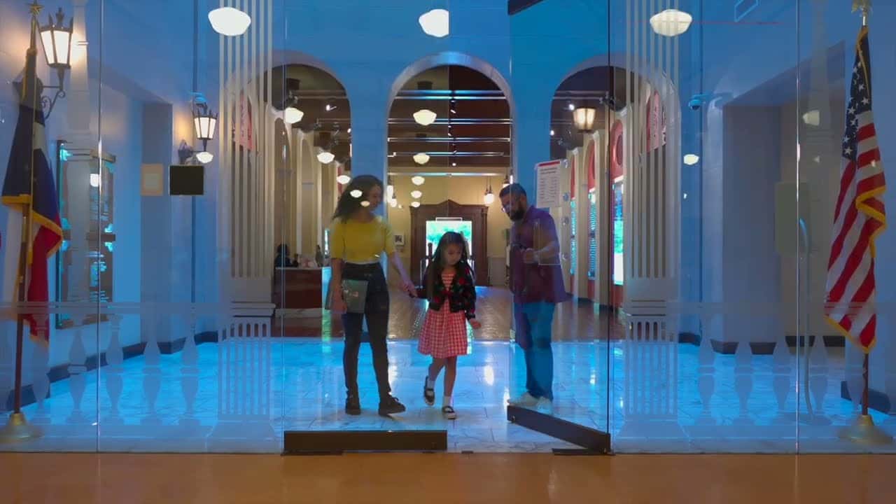
Home Sweet Home is on view at the Houston Public Library - Central, in the Julia Ideson Building's Dr. James and Betty Key Map Room. It opened August 22 and runs through December 23, 2026.
The exhibition traces how Houston grew from a fledgling town in the Republic of Texas into the nation's fourth-largest metropolis. It does that by looking at the creation of Greater Houston's subdivisions, neighborhoods, and cities, using historical maps, brochures, postcards, and photographs to show how the city expanded outward over time.
Much of what's on display comes from the library's own collections. The Houston Subdivision Collection provides plat maps, street directories, and city maps from the 1890s and 1900s—the kind of documents that show exactly how the land was carved up and named. The Bank of the Southwest collection brings in photographs by Frank J. Schlueter, whose images date from 1907 to 1943, and the library's Houston Postcard Collection covers roughly 1896 to 1948. Together, they give a sense of what these neighborhoods looked like when they were first being built.
Every week we pick 🏆 the 5 best 🏆 things to do in Houston and send them to your inbox. Just one weekly email, no spam.
By submitting your email, you accept our Privacy Policy
If you're interested in how the city's layout came together, it's worth a visit. You'll find it at the Central Library downtown, 500 McKinney St, in the Julia Ideson Building's Dr. James and Betty Key Map Room, on view through December 23.
Date
13 October – 23 December
19:00
Price
Free
Recommended Age
+14 years