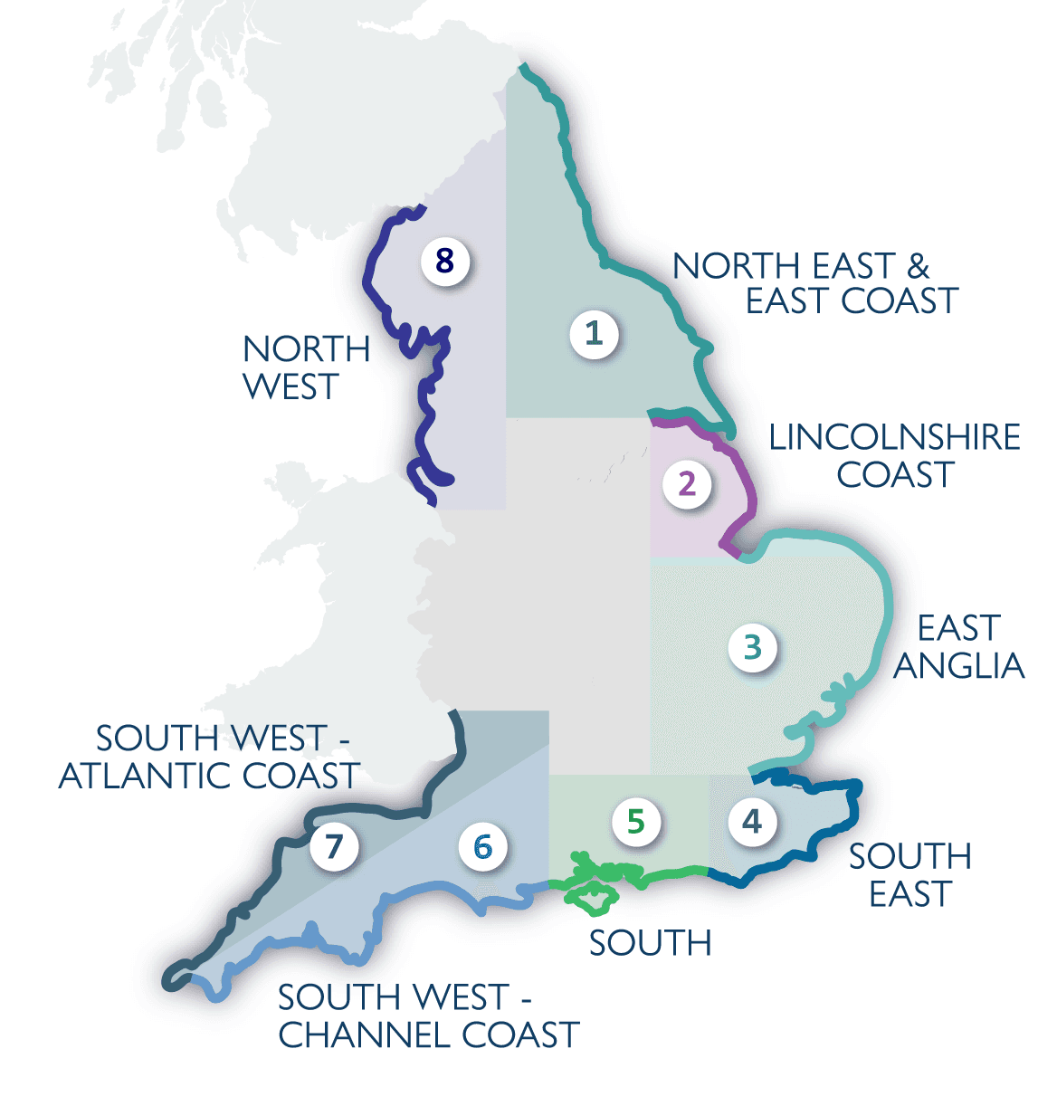
Last Thursday, March 19, King Charles III visited Seaford to officially open the world’s longest managed coastal walking route. Now named the King Charles III England Coast Path, it stretches about 2,700 miles around the entire English coastline. While the project started back during the Gordon Brown administration and has seen seven different Prime Ministers, it’s finally at a stage where about 80% of it is open to the public. For those of us based in Brighton, the Sussex sections are some of the most accessible and dramatic parts of the whole trail. The project involved creating over 1,000 miles of entirely new path and upgrading another 1,700 miles with better signage, boardwalks, and bridges. They’ve also removed many stiles to make the route more accessible for different walking abilities.
Every week we pick 🏆 the 5 best 🏆 things to do in Brighton and send them to your inbox. Just one weekly email, no spam.
By submitting your email, you accept our Privacy Policy
One of the biggest changes locally is the designation of the Seven Sisters as a new National Nature Reserve. It covers about 1,500 hectares, which is roughly twice the size of Brighton. This area is part of a larger plan to establish 25 such reserves by 2028, with 13 already in place. The path here takes you through the South Downs National Park, over the white chalk cliffs and through the grasslands. Because of the way the coast changes, there’s a legal 'roll-back' mechanism in place. This means if the cliffs erode—like what happened recently with a landslide in Dorset this February—the path can be moved inland without losing public access rights. It’s a practical solution to the reality of coastal erosion and climate change, ensuring the route remains continuous even as the landscape shifts.
If you’re planning a day trip from Brighton, the stretch from Seaford to Eastbourne is the standout route. It’s about 13.6 miles (21.9 km) and usually takes around seven hours to complete if you include a few breaks. Starting from Seaford Esplanade, the path climbs up toward Seaford Head Nature Reserve. It’s important to stay at least five metres back from the edge because of the risk of rock falls. You’ll pass Hope Gap and the Coastguard Cottages at Cuckmere Haven, which you might recognise from films like Atonement or Hope Gap. A key thing to check before you go is the tide times; the River Cuckmere has strong currents and is only safe to cross at low tide. If the tide is high, you’ll have to head inland to the bridge at Exceat to get across, which adds a bit of distance to the walk.
Further along, the route hits Birling Gap, where there’s a National Trust caf and a visitor centre if you need to stop for a drink or use the facilities. From there, the path continues past the Belle Tout Lighthouse, which dates back to 1832 and now operates as a B&B, before reaching Beachy Head. At 162 metres above sea level, it’s the highest coastal point in the UK. The path eventually winds down into Eastbourne, passing through various landscapes including the historic dockyards and Chichester Harbour further west. The total cost of the development is projected at 28 million, and once the final sections are finished by the end of 2026, it will connect with the Wales Coast Path. This could eventually allow for a continuous 9,000-mile walk around Great Britain, which would take nearly two years to complete at a steady pace.
Published Date
26 March 2026